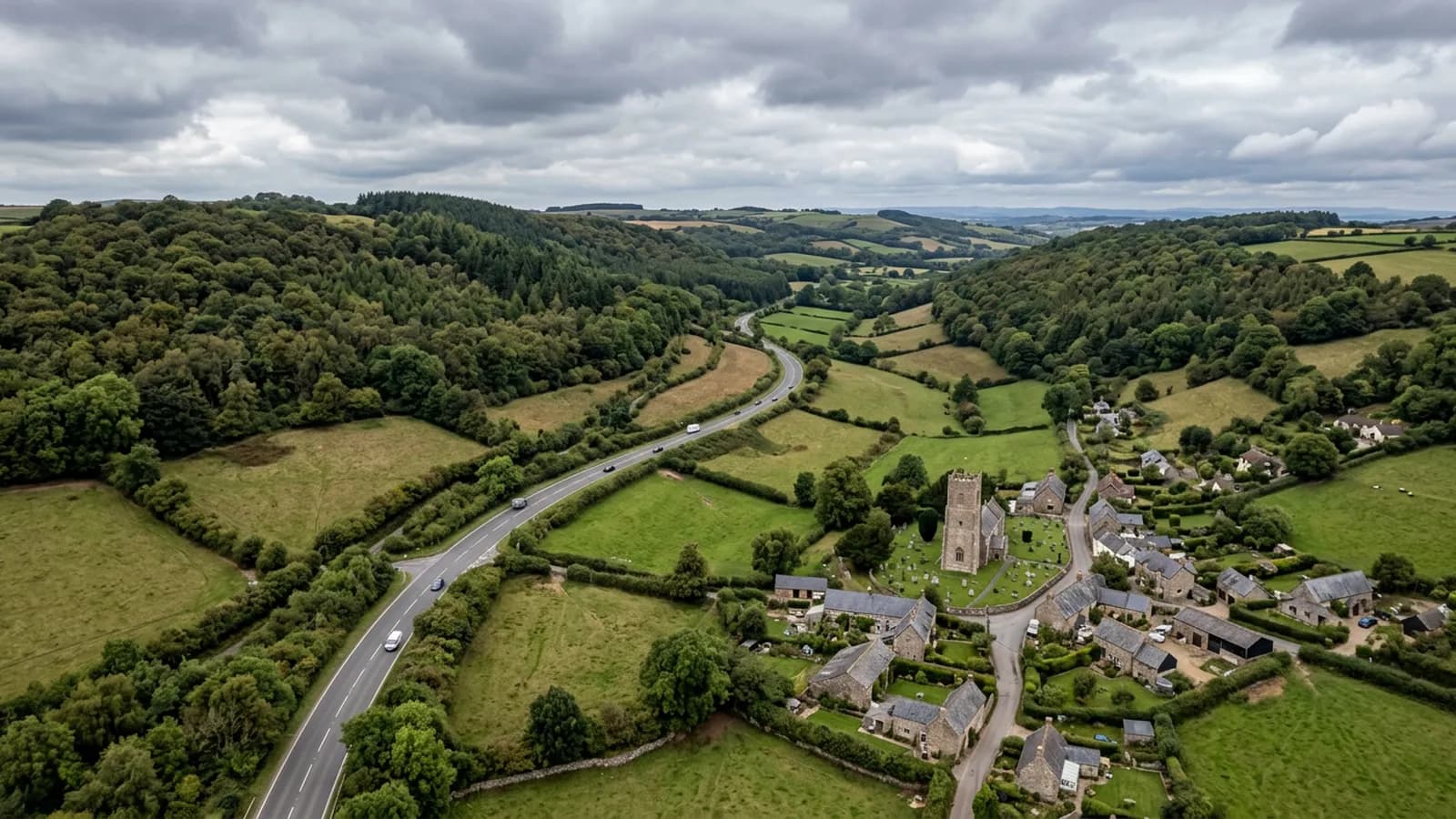
Devon · EX13
A drone survey firm covering Axminster
Thirty five minutes east of Exeter near the Dorset border, a hilltop town open to wind from every quarter, hard on exposed ridge and verge details.
Thirty five minutes, and better booked with a neighbour
Axminster is around thirty five minutes from the Exeter base, out along the A35 corridor after the A30. Close enough to book alone, but far enough that it is worth asking whether anything else nearby needs looking at, because Honiton, Seaton, Lyme Regis and Chard are all within a short hop of each other and a single day covers several of them comfortably.
For an owner with a property here and another over the Dorset border, that is the practical answer to the coverage question. The county line makes no difference to the price or to how the job is run.
A hilltop, exposed on every side
The town sits above the Axe valley with the land dropping away on three sides, which leaves it open to wind from every quarter rather than from a single prevailing direction. That is unusual and it changes what fails. A building detailed for south-westerly weather will have its ridge, verge and flashing details tested from directions they were never really meant to face, and the valley below funnels damp air upward on top of that.
The practical effect is that exposed edges do the suffering here. Ridge tiles, verge pointing, flashing upstands and anything mechanically fixed at a roof perimeter are the first places a survey looks, and they are exactly the places nobody can see from ground level on a building of any height.
Former industrial buildings and their coverings
Alongside the Georgian and Victorian centre around the church and market square, the town carries former mill and carpet factory buildings with large-span metal and asbestos-cement roofs. Those are a specific case worth raising.
Asbestos-cement sheet is common on buildings of that period and it is not a covering anybody should be walking on. It is brittle, it degrades with age, and access to inspect it properly is a job in its own right. A survey flown from the air records its condition, the state of the fixings and the ridge line, and any obvious damage, without a single foot going on it. Where the imagery raises a question about the material itself, the report says that a specialist survey is the next step rather than pretending a photograph settles it.
The post-war estates north of the town are more ordinary work: natural slate, clay plain tile and concrete tile, on ground high enough to feel the wind but easy enough to fly.
The market square and the minster
The Minster Church of St Mary and the buildings around Trinity Square make up a tight historic centre where nothing can be closed off easily and the pavements are narrow. That is the part of town where an aerial record earns its place most obviously, because the alternative involves a licence, a road closure or a very long ladder.
The River Axe below the town and the farmland along it also bring in agricultural instructions, where several buildings on one holding are recorded in a single visit rather than separately.
Behind the survey
What Axminster clients are actually buying
CAA registered
Registered with the Civil Aviation Authority as an operator, with an Operator ID and a Flyer ID held. Ask for the numbers and you will get them before the visit.
A2 Certificate of Competency
The pilot holds an A2 CofC, the certificate that allows flying closer to uninvolved people than the default. There is no GVC, and this site says so rather than leaving you to guess.
Insured with Coverdrone
Commercial operations are insured with Coverdrone. If your site or your managing agent needs a certificate on file, it goes over with the quote rather than after the flight.
Two aircraft, one pilot
A DJI Mavic 4 Pro with a 100 megapixel Hasselblad camera for detail, and a DJI Mavic 2 Enterprise Advanced with a 640 by 512 radiometric thermal camera. Sam Hembury flies both himself.
Nearby
Also covered around Axminster
- HonitonTwenty five minutes east of Exeter on the A30, a long linear Georgian town where sitting winter fog keeps roofs damp and shapes when a survey is worth flying.
- ChardAround forty five minutes out and the highest town in Somerset, exposed on a ridge and holding frost longer than the lowland either side of it.
See how a job runs
Request a quote in Axminster
Send the address and what is worrying you. Sam Hembury will come back with a fixed price and the next slot that suits the weather.