The process
Every step, in the order it actually happens
On the day
The six steps between your call and your report
- Step 1
The enquiry and the quote
You send the address, the type of building and what has prompted the survey. Back comes a fixed price, a date, and the insurance and registration paperwork. If there is something about the site that makes the job awkward or impossible, that is in the same reply rather than saved for later.
- Step 2
Airspace and site planning
Before a date is confirmed the airspace over the address gets checked, along with anything nearby that restricts flying: an airport zone, a hospital helipad, a prison, a live construction site. Where the flight has to happen close to people or property outside your control, we agree with you how that area is going to be managed for the flight window.
- Step 3
Arrival and setting up
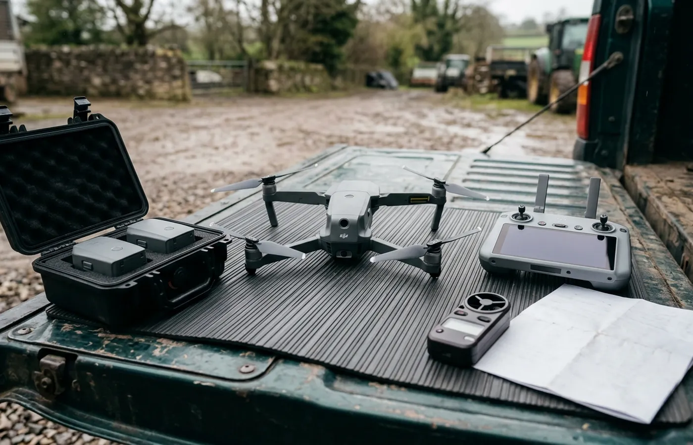
A short walk of the site first, to find a take off point with a clear view of the aircraft and to see what is going on around the building. On a working site that means talking to whoever is in charge on the ground. A landing area gets marked out and, where the public are close, coned off.
- Step 4
The flight itself
Overview passes first, so every elevation and every roof slope is on record in context, then close detail on the areas that matter. A typical building is thirty to ninety minutes on site. The aircraft is flown in view the whole time and the imagery is checked on screen before the kit goes back in the van.
- Step 5
Reviewing the imagery
Back at the desk, every frame is gone through at full resolution. That is where most findings actually get made: a 100 megapixel image holds far more than can be seen on a controller screen in daylight, and the thermal frames are read against the conditions on the day rather than on their own.
- Step 6
The written report
Written up and sent inside 48 hours of the flight, with the imagery. If something needs a second look, or the weather cut the flight short, you are told during the visit rather than reading it in the report two days later.
The report
What the report contains
Summary
What was surveyed, on what date, in what conditions, and the headline of what was found.
Findings, one at a time
Each with the photographs that show it, described in plain terms rather than trade shorthand.
Overview imagery
Every elevation and every roof slope in context, so a reader can place each close up on the building.
What could not be seen
Anything hidden under a covering, behind vegetation, under standing water or out of view on the day, listed rather than skipped over.
What to do next
Where a finding needs opening up, testing or a specialist, the report says so instead of implying the drone settled it.
The imagery itself
Full resolution files, yours to keep and to pass to a roofer, surveyor, solicitor or insurer.
Why 48 hours and not same day
Because the findings come out of the full resolution review, not out of the controller screen. A same day report would mean writing up from what could be seen on a phone sized display in daylight, which is where the small things get missed. Two days is the time it takes to do it properly, and it is a process commitment rather than a sales line.
Weather and rules
What stops a flight, and what happens then
Wind
The aircraft has a wind limit and a survey needs stable hovering to hold a sharp frame, so a windy day gets moved rather than flown badly. On the coast and on the moor edge this is the most common reason a date shifts.
Rain and light
Rain on the lens ruins detail and flat dark light hides the very things a condition survey is looking for. Thermal work has a narrower window again: it wants a dry roof and a real temperature difference between inside and out.
Airspace and ground restrictions
Some addresses sit inside a controlled zone, near a helipad or under a temporary restriction. This gets checked before the date is confirmed, not on the morning, and where permission is needed it gets sought properly.
People and property nearby
The certificate held sets how close the aircraft may fly to people and property outside your control. Where a site cannot be managed to make that work, the job is turned down rather than stretched. Nothing is charged for a flight that did not happen.
Before you book
Common questions
- Who actually turns up on the day?
- Sam Hembury. There is no pool of subcontracted pilots and no franchise arrangement, so the person you speak to on the phone is the person standing in your yard with the controller. On a bigger commercial site he brings a second person to keep an eye on the ground while he flies.
- What paperwork can you send before the visit?
- The Coverdrone certificate, the Operator ID and Flyer ID numbers, and a site specific risk assessment and method statement where the building manager wants one. Ask at quote stage and it comes with the price rather than the week after.
- You hold an A2 CofC and not a GVC. What does that rule out?
- An A2 Certificate of Competency allows flying closer to uninvolved people than the default open category permission. It does not carry the wider operational authorisation a GVC leads to. In practice that means a job in a busy public space, or one that has to be flown very close to people and property outside your control, needs the area put under the client's control for the flight window or it does not get flown. If your site is that job, we will tell you at quote stage instead of on the day.
- How is the price worked out?
- A fixed price for the job, agreed in writing before the visit, with travel inside it. The address and a short description of what needs looking at is enough to price most work. If what is on site turns out to be materially different from what was described, the price is re-agreed before anything is flown.
- How quickly do you get out to us?
- It depends on your postcode and the weather, so this site gives travel bands from Exeter on each area page rather than a promised response time. Everything inside the ring of towns closest to Exeter is a short run out; the far end of Cornwall or Dorset is a planned day rather than a drop in. What we will do is give you a real date at quote stage instead of a vague soon.
- What happens if the weather stops the flight?
- It gets rescheduled at no cost. Wind, heavy rain, poor light and airspace restrictions all stop flights, and a rescheduled visit is normal rather than a failure. Nobody is charged for a flight that did not happen.
- What do we actually receive at the end?
- A written report inside 48 hours of the flight, with the photographs it is based on, laid out so the findings are in one place and the images that support each one sit with them. The imagery is yours to pass to a roofer, a surveyor, a solicitor or an insurer.
- Do you work for managing agents and facilities teams?
- Yes, and a good share of the work comes that way. Repeat visits on the same building can be booked as a set so the same views are captured each time and one year can be compared against the next.
See how a job runs
Request a quote with Drone Survey Company
Tell us the address and what you need looking at. Sam Hembury will come back with a fixed price and the next available slot.