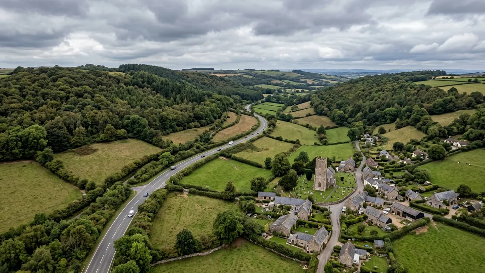
Devon · EX14
A drone survey firm covering Honiton
Twenty five minutes east of Exeter on the A30, a long linear Georgian town where sitting winter fog keeps roofs damp and shapes when a survey is worth flying.
The first town on the eastern road
Honiton sits about twenty five minutes from the Exeter base on the A30, which makes it the closest town on the eastern corridor and the natural first or last stop on any run out towards Axminster, Chard or Yeovil. A single building here is easy to book on its own; two on this road in the same week are easier still.
The dual carriageway runs most of the way, so the drive is reliable rather than seasonal. That is worth noting because the eastern corridor beyond here gets progressively slower, and the difference between a Honiton job and a Yeovil job is more about the second half of the road than the first.
A uniform high street, and what that changes
The high street here is famously uniform, rebuilt after the eighteenth century fires, and that consistency has an odd effect on survey work. A run of buildings with the same age, the same construction and the same original detailing tends to fail in the same way at roughly the same time, and a problem found on one frontage is worth checking for on its neighbours.
For an owner of more than one property on the street, or an agent managing several, that is a strong argument for looking at them together rather than one at a time as each throws up a symptom. The imagery from a single visit covering four or five frontages costs far less than four or five separate reactions.
Behind the frontages the picture changes: Victorian additions, substantial post-war and modern estates to the north and west, and thatch on outlying cottages. Thatch is one of the coverings that benefits most from being photographed from directly overhead, since the wear pattern on a ridge is invisible from the road.
Fog in the valley and how it affects timing
The town is sheltered from the sea but exposed to weather coming over the Blackdown Hills, and the Otter valley is prone to sitting fog that keeps roofs damp through the winter months. That has two consequences for a survey.
The first is about reading the images. A roof that has been damp for weeks looks worse than the same roof in July, and a report written without acknowledging that overstates what it shows. The second is about flying at all: fog in the valley grounds a flight even when the wider forecast looks reasonable, so a winter date here is set with a fallback in mind rather than as a fixed commitment.
Neither costs you anything. A flight that cannot happen safely gets moved and nobody is charged for it, and on this corridor the rearranged date is rarely more than a few days out.
The high ground above the town
Dumpdon Hill and the Blackdown slopes rise steeply on the north and east side, and properties on that higher ground sit in noticeably different conditions from the valley floor. Wind reaches them first and fog leaves them first, which occasionally makes a hillside property flyable on a morning when the town centre is not.
If the building is up on that ground rather than on the high street, saying so when you enquire is useful, because it changes both the exposure picture and the odds on any given date.
Behind the survey
What Honiton clients are actually buying
CAA registered
Registered with the Civil Aviation Authority as an operator, with an Operator ID and a Flyer ID held. Ask for the numbers and you will get them before the visit.
A2 Certificate of Competency
The pilot holds an A2 CofC, the certificate that allows flying closer to uninvolved people than the default. There is no GVC, and this site says so rather than leaving you to guess.
Insured with Coverdrone
Commercial operations are insured with Coverdrone. If your site or your managing agent needs a certificate on file, it goes over with the quote rather than after the flight.
Two aircraft, one pilot
A DJI Mavic 4 Pro with a 100 megapixel Hasselblad camera for detail, and a DJI Mavic 2 Enterprise Advanced with a 640 by 512 radiometric thermal camera. Sam Hembury flies both himself.
Nearby
Also covered around Honiton
- AxminsterThirty five minutes east of Exeter near the Dorset border, a hilltop town open to wind from every quarter, hard on exposed ridge and verge details.
- CullomptonTwenty minutes up the M5 and straight off junction 28, which makes it one of the quickest towns here to reach and the easiest to fit in at short notice.
See how a job runs
Request a quote in Honiton
Send the address and what is worrying you. Sam Hembury will come back with a fixed price and the next slot that suits the weather.